ENGLISH.
Thank you for choosing us as your Baja Vacation Home hosts. We hope you have a wonderful vacation with your family, and here are some suggestions of what you can do and see.
It's organized so you can visit these places in order, by day, or by creating your own itinerary. In each section, there are links to GOOGLE MAPS that will make it easier to get to these places. Have fun!
ESPAÑOL.
Gracias por habernos escogido como tus anfitriones de Baja Vacation Home. Nuestro deseo es que pases unas muy agradables vacaciones en compañía de tu familia, y estas son algunas sugerencias de lo que puedes hacer y visitar.
Esta organizado de tal manera que puedas hacer las visitas a estos lugares en orden, por día o haciendo tu mismo tu itinerario. En cada seccion hay enlaces a GOOGLE MAPS que facilitaran tu llegada a esos lugares. Que te diviertas !
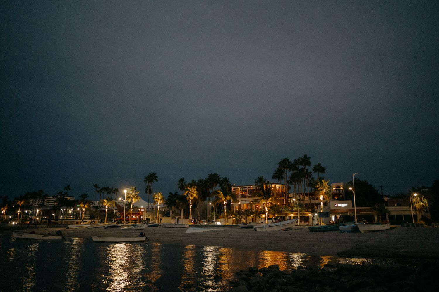
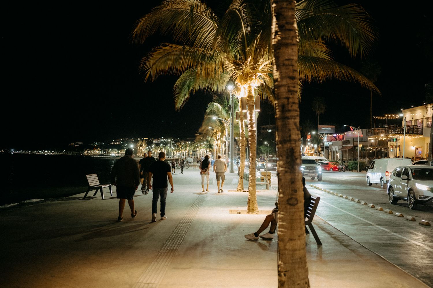
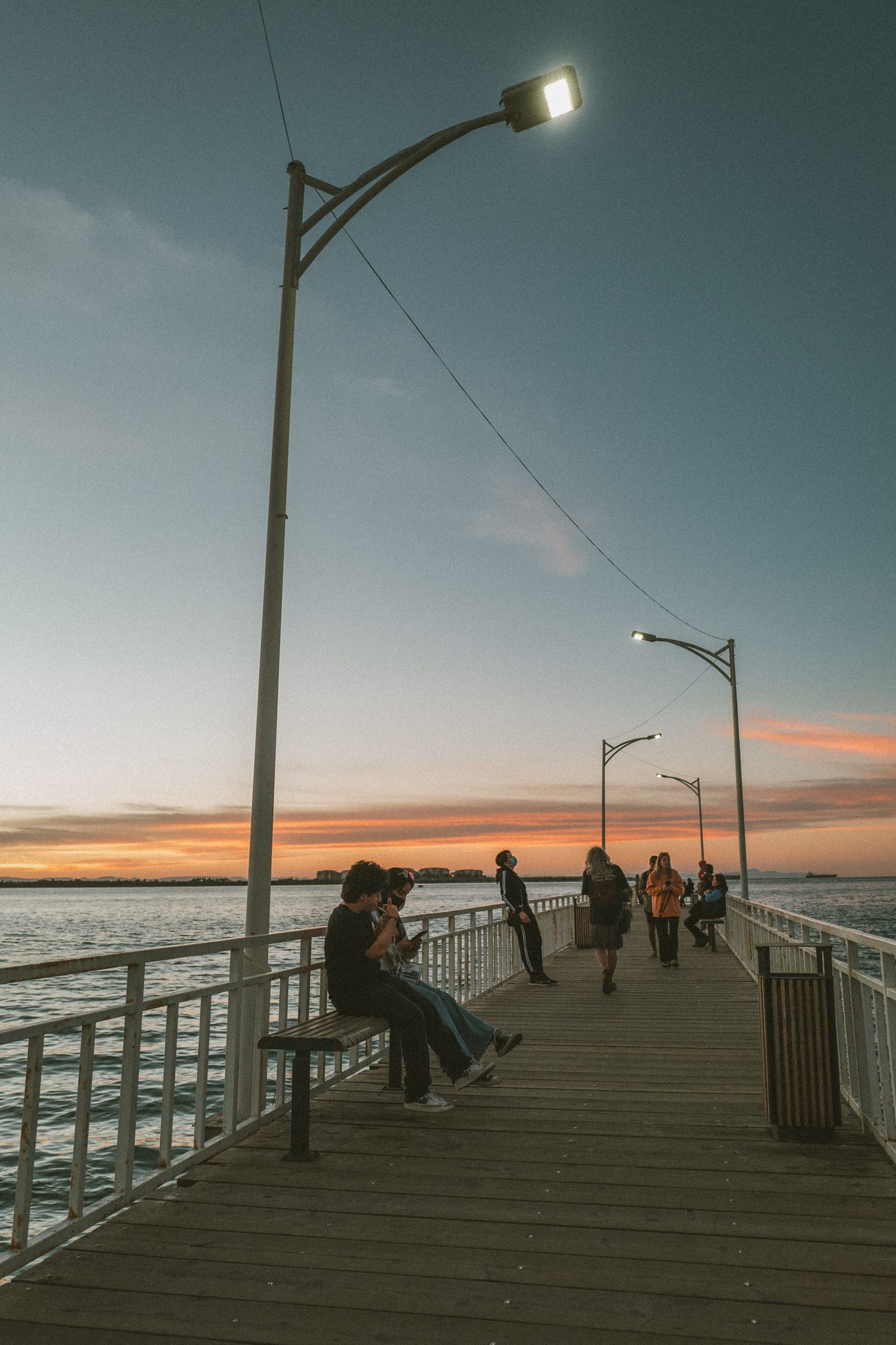
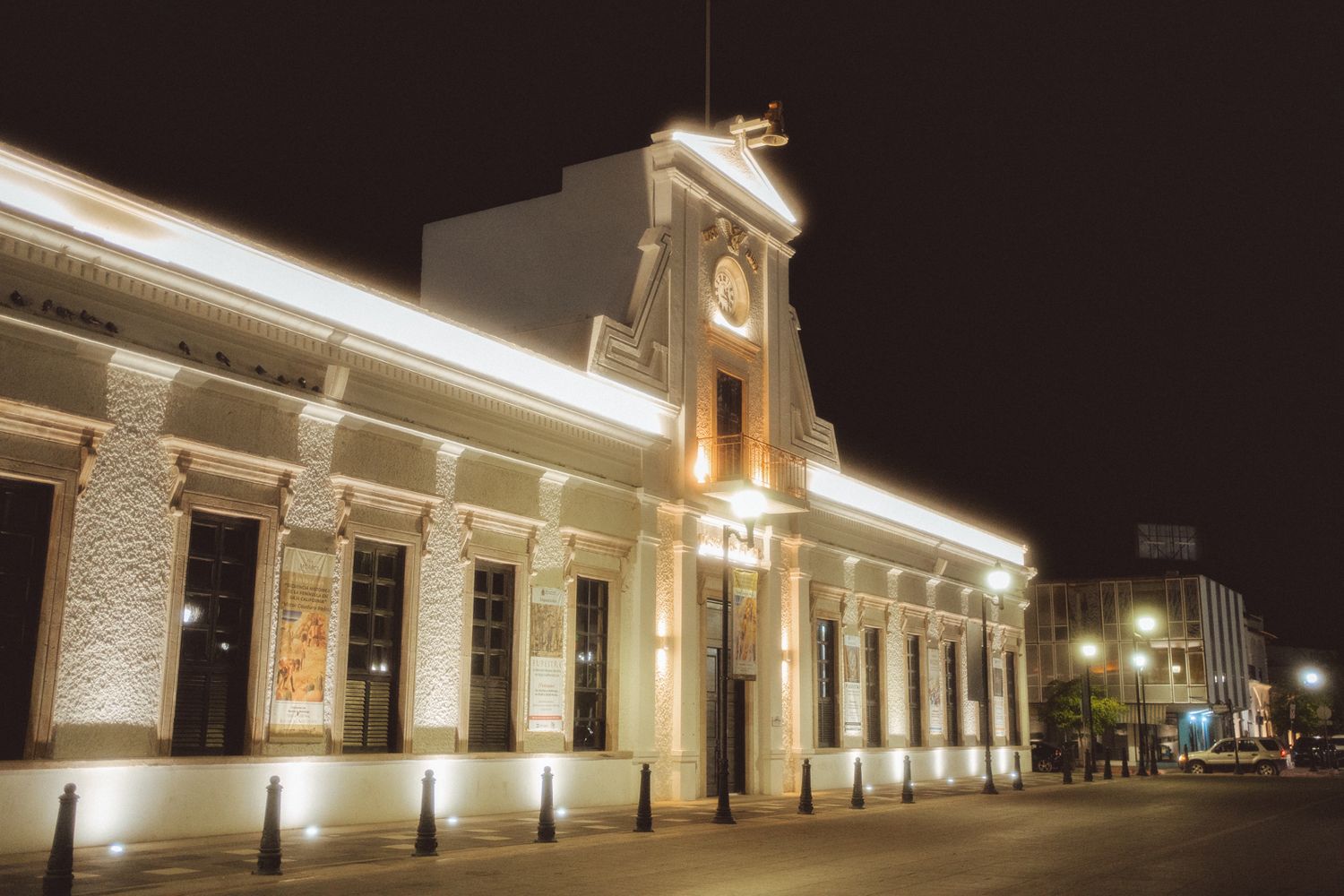

DAY 1
Pichilingue, Balandra and el Tecolote Beaches.
DIA 1
Playas Pichilingue, Balandra y el tecolote.
ENGLISH.
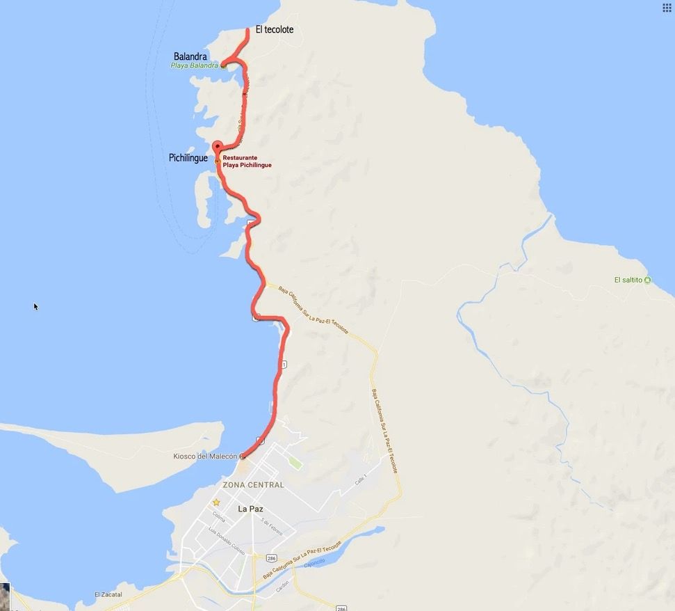
You'll need a full day to visit Pichilingue, Balandra, and El Tecolote beaches. These beaches are located 18 kilometers from the city of La Paz.
SOMETHING YOU SHOULD KNOW: There is no cell phone service at El Tecolote and Balandra, so I recommend downloading Google Maps on your phone before you go.
To get to Pichilingue Beach: https://goo.gl/maps/LQMNYUyYu9tYbqHG9
Now we're going to Balandra Beach, but
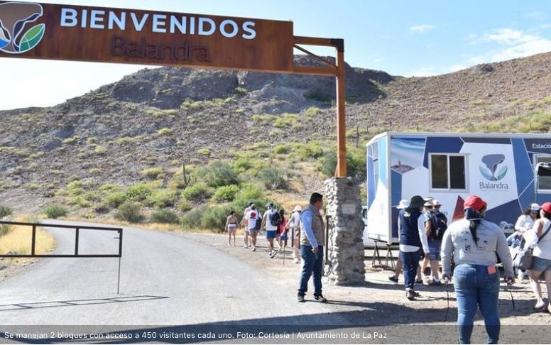
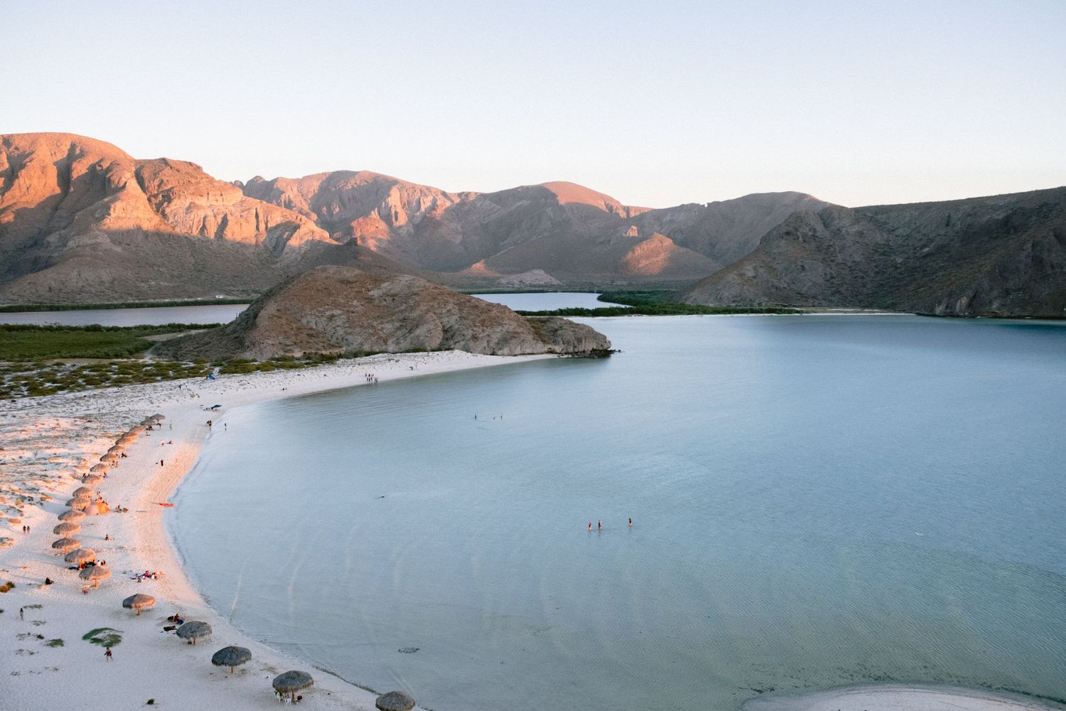
Balandra Beach is currently a protected natural area, and there are some entry restrictions. Only 900 people are allowed per day, in two blocks of 450 each. The first group of 450 people enters at 8:00 am, and they must leave at 12:00 pm to allow the next group of 450 people to enter at 1:00 pm, and they leave at 5:00 pm. There's no entrance fee; you just have to be very respectful of the area. Don't litter, climb the dunes, or climb the hongo.
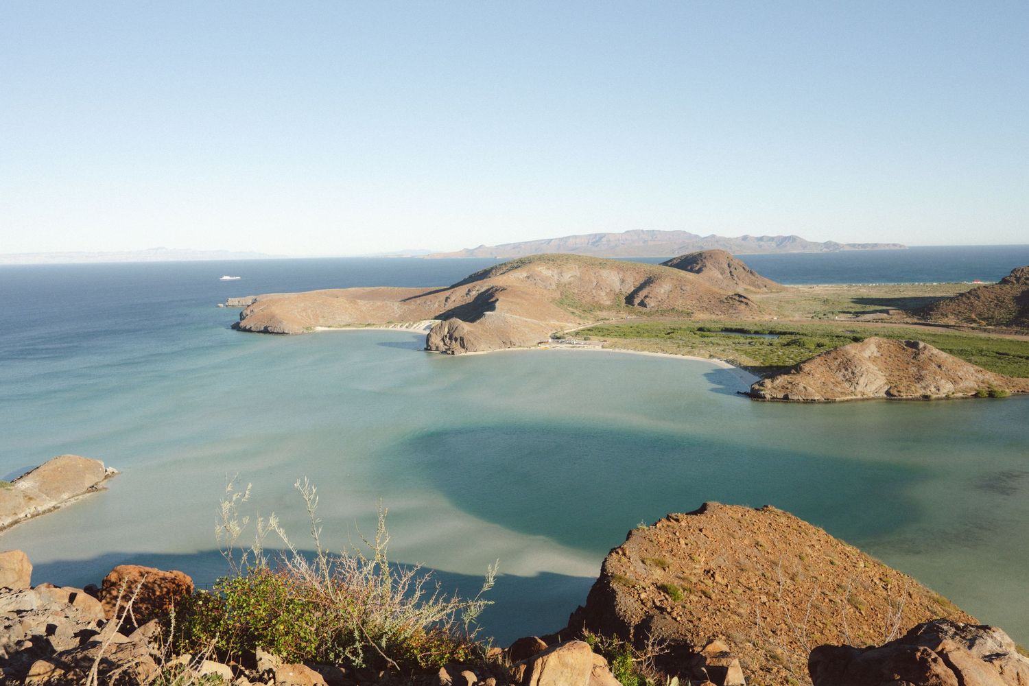
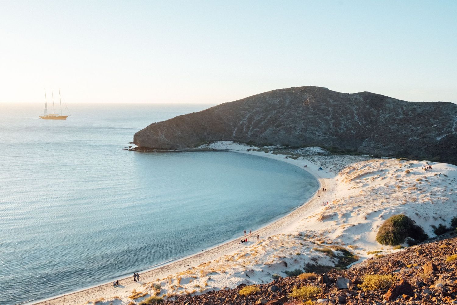
When you arrive in Balandra, park your car. I recommend walking just before reaching the parking lot; there's a trail up to the hill. It's worth it because you'll have spectacular views of Balandra Bay. Don't forget to visit the Balandra Hongo, a rock formation emblematic of this beach. There's no restaurant in Balandra, so you have the option of bringing your own food or going to El Tecolote Beach, 10 minutes away, and eating at the restaurant on the beach.
To go playa balandra: https://g.page/Balandramx?share
To go playa EL Tecolote: https://goo.gl/maps/XwjxQiWojKNkaNuA7
ESPAÑOL
Ocuparas un día completo para visitar las playas Pichilingue, Balandra y el Tecolote. Estas se encuentran a 18 kilómetros de la ciudad de La Paz.
ALGO QUE DEBES SABER: no hay señal celular en el tecolote y balandra por lo que te recomiendo descargues el mapa de google maps en tu celular antes de ir.
Para ir a Playa Pichilingue: https://goo.gl/maps/LQMNYUyYu9tYbqHG9
Ahora vamos a Playa Balandra, pero
La playa Balandra actualmente es una área natural protegida y hay algunas regulaciones para ingresar. Solo ingresan 900 personas por día en dos bloques de 450 cada uno. La primera entrada de 450 personas es a las 8:00 am y tienen que salir a las 12:00 pm para dejar ingresar al siguiente bloque de otras 450 personas a la 1:00 pm y salen a las 5:00 pm. La entrada no tiene ningún costo, solo hay que ser muy respetuosos de el area. No tirar basura, no subirse a las dunas y tampoco subirse al hongo.
Cuando llegues a Balandra, estaciona tu auto y te recomiendo que vayas a pie un poco antes de llegar al estacionamiento, allí esta la subida a la colina. Vale la pena porque tendrás unas vistas espectaculares de la bahia de Balandra. No olvides visitar el hongo de balandra, una formación rocosa emblemática de esa playa. En Balandra no hay restaurante, así que tienes la opción de llevar tu propia comida o ir a la playa el Tecolote que está a 10 minutos de allí y comer en el restaurante que esta a la orilla de la playa.
para ir a playa balandra: https://g.page/Balandramx?share
para ir a playa EL Tecolote: https://goo.gl/maps/XwjxQiWojKNkaNuA7
DAY 2
El Saltito Beach and El Mogote Dunes.
DIA 2
Playa El Saltito. Las dunas del Mogote.
english
SOMETHING YOU SHOULD KNOW: There is no cell phone service at El Saltito beach, so I recommend downloading Google Maps on your phone before you go.
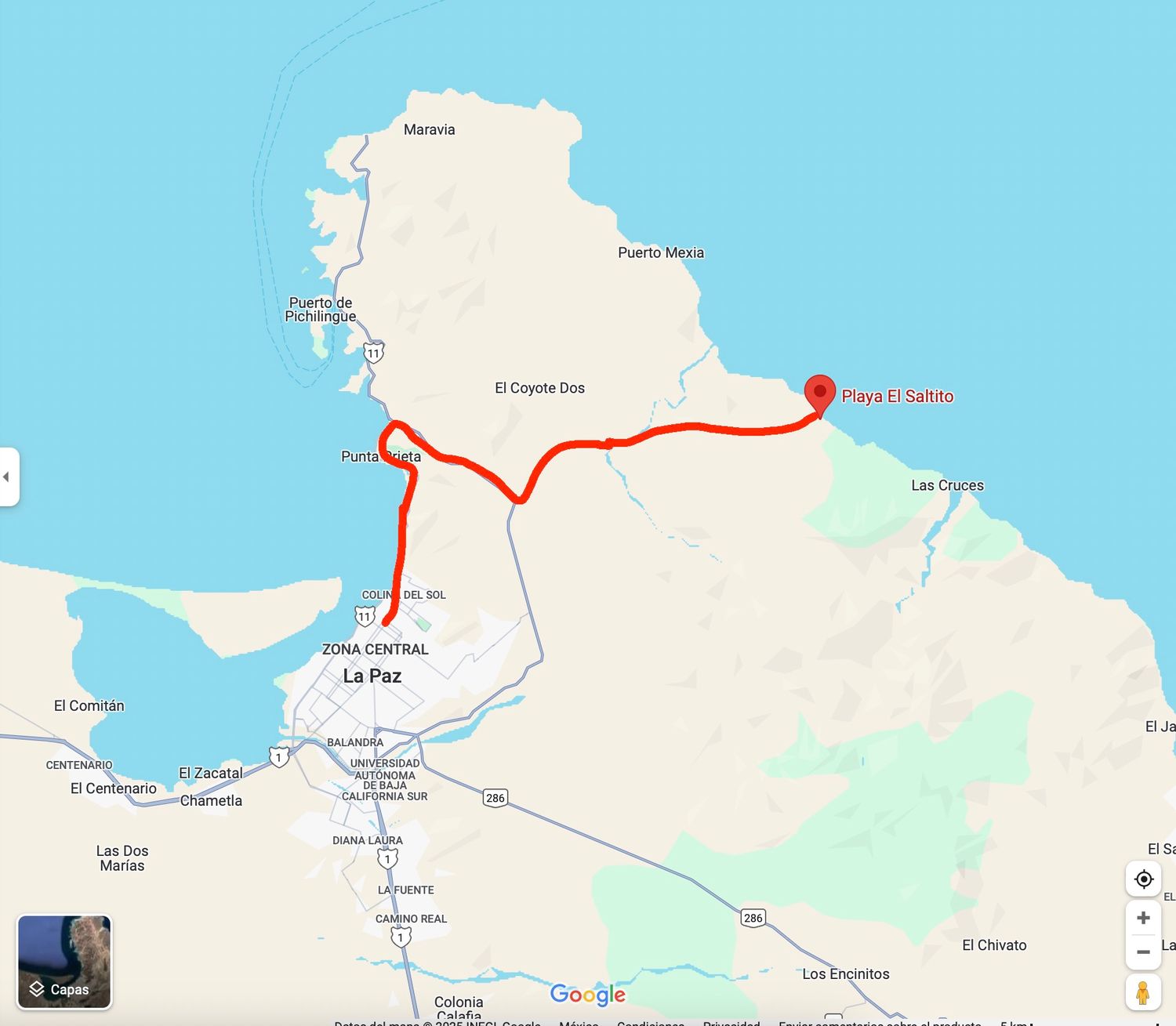
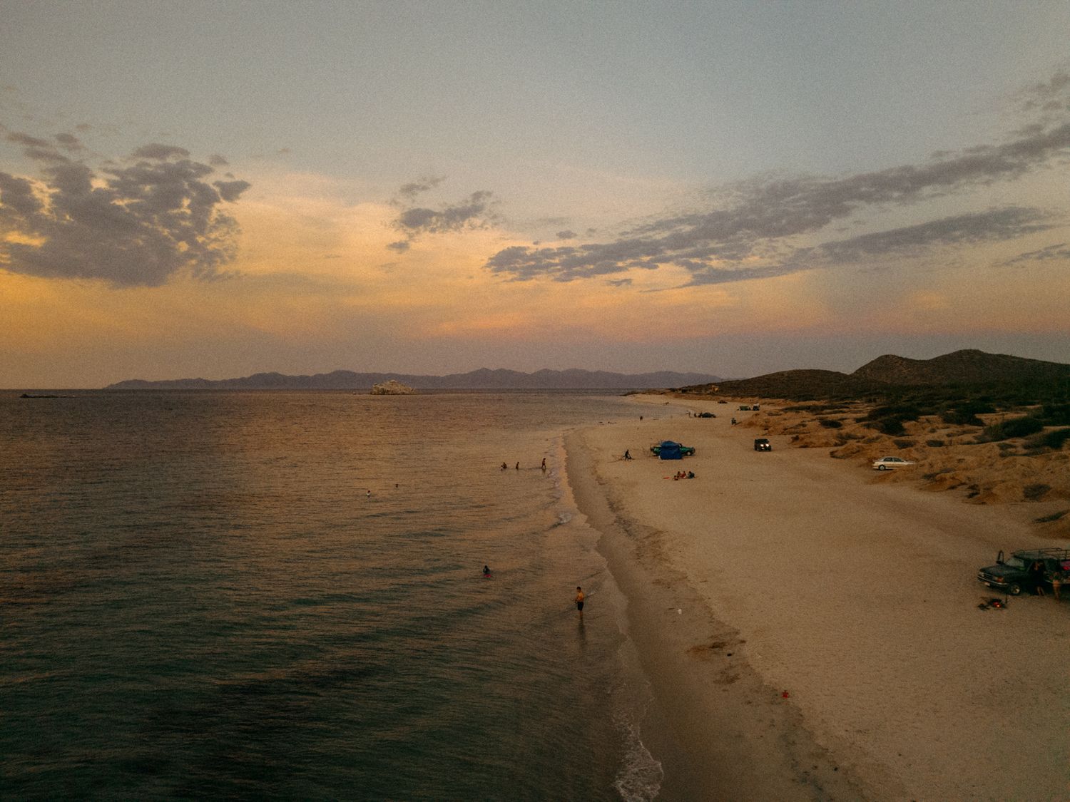
Today we will visit El Saltito Beach. I recommend leaving early, around 8:30 a.m., because this beach is 45 minutes from La Paz. Bring a beach umbrella because there is no shade there. Also, bring a cooler, if possible, with drinks and food, because it is a completely unspoiled beach where many of us locals go in the summer. There are rock formations on the shore where you can snorkel; you will be amazed by what you see! A true delight! At certain times of the year, especially in the summer and on a completely dark night (no moon), there is a natural bioluminescence spectacle.
Try to return with enough time to go to the Mogote Dunes in the afternoon. I'll tell you how to get there below, and also so you can plan to be there a little before sunset so you can see it.
El Saltito https://maps.app.goo.gl/1UQsD59d6P1W2mRV6
To go to El Mogote dunes, keep reading.
ESPAÑOL
ALGO QUE DEBES SABER: no hay señal celular en el Saltito, por lo que te recomiendo descargues el mapa de google maps en tu celular antes de ir.
Hoy Visitaremos la playa El Saltito, te recomiendo que salgas temprano como a las 8:30am porque esta playa esta a 45 Minutos de La Paz. Lleva una sombrilla de playa porque no hay sombra allá. Lleva también una hielera si es posible con bebidas y comida porque es una playa completamente virgen donde muchos de nosotros como locales vamos en verano. Hay unas formaciones rocosas en la orilla donde podrás hacer snorkel, te asombraras de lo que veras! Un verdadero deleite! En ciertas épocas del año, especialmente en verano y en una noche totalmente oscura (sin luna) hay un espectáculo natural de bioluminiscencia.
Trata de regresar con el tiempo necesario para ir a las Dunas del mogote por la tarde, mas abajo te digo como ir y también para que calcules estar allá un poco antes del atardecer para que te toque verlo.
El Saltito https://maps.app.goo.gl/1UQsD59d6P1W2mRV6
Para ir a las dunas del MogoteSigue leyendo.
ENGLISH
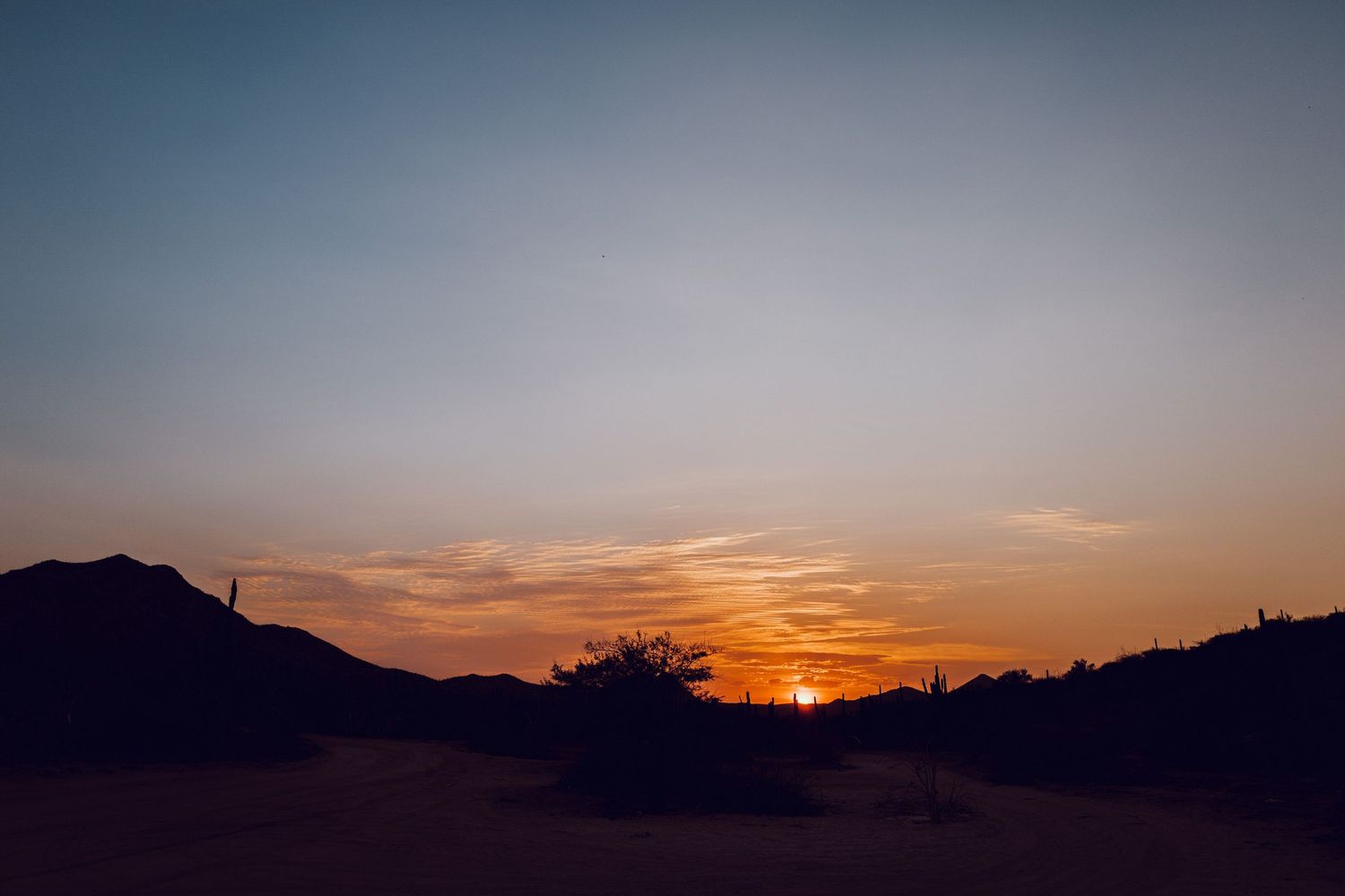
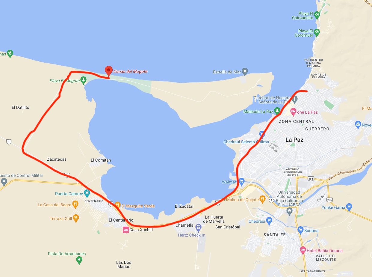
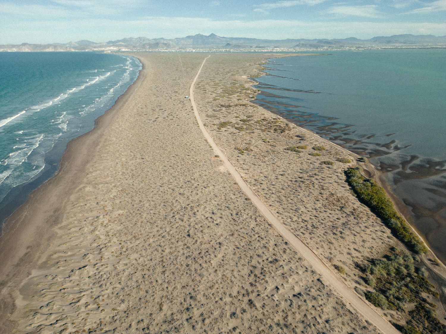
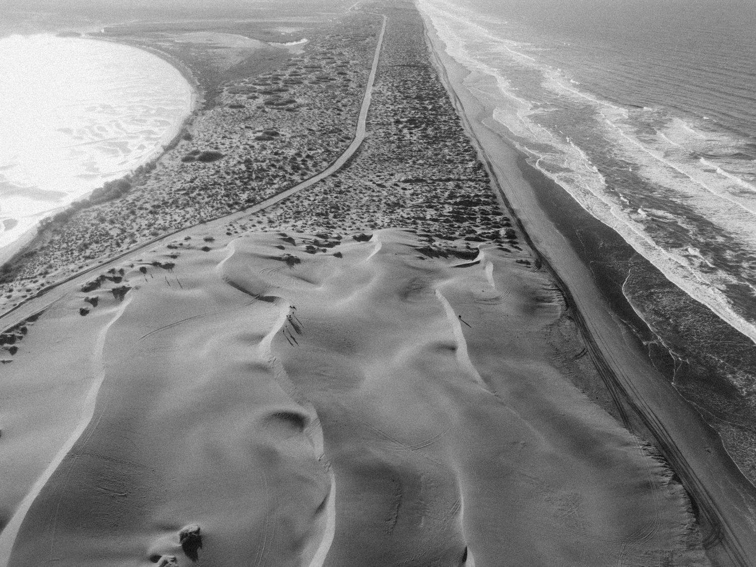
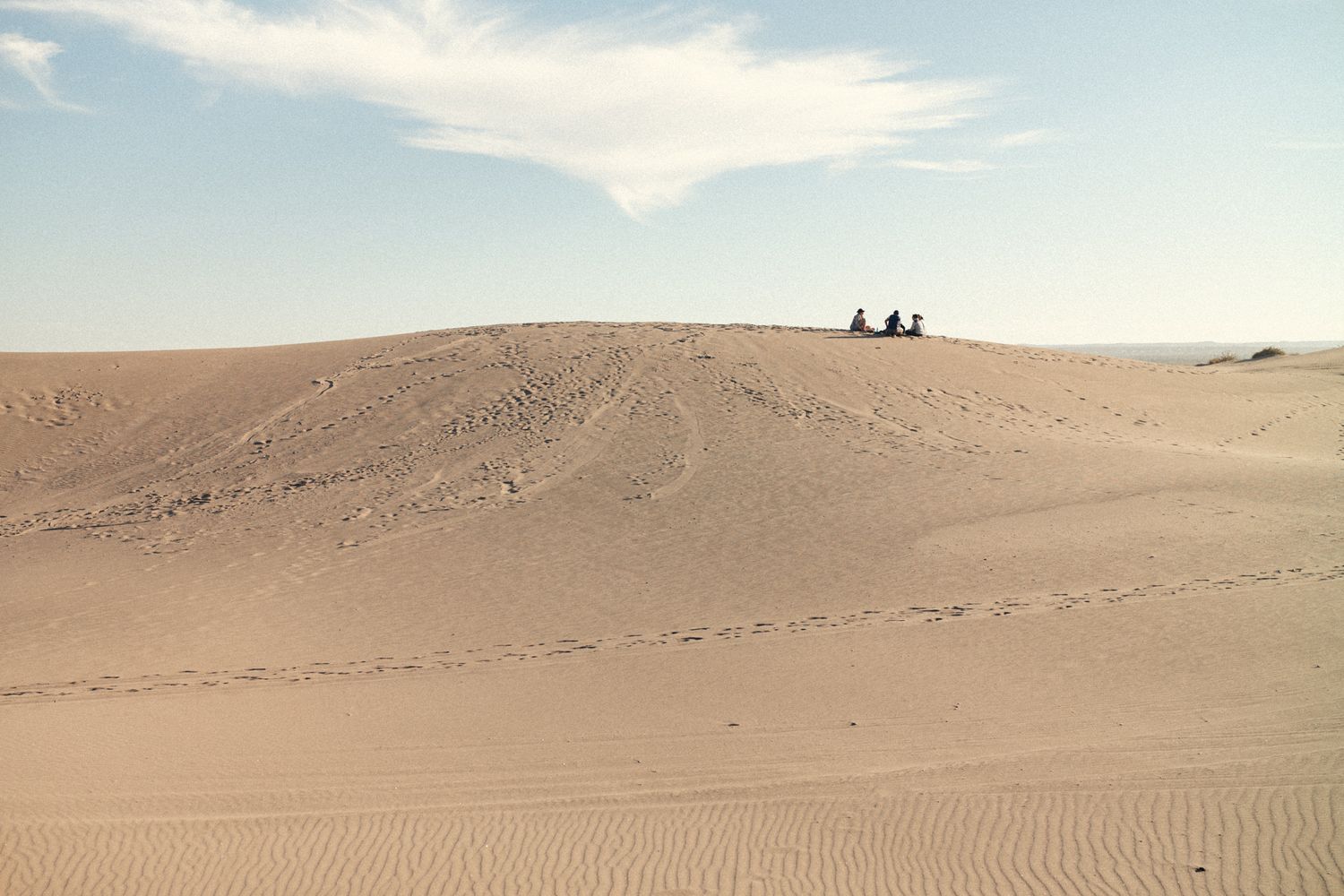
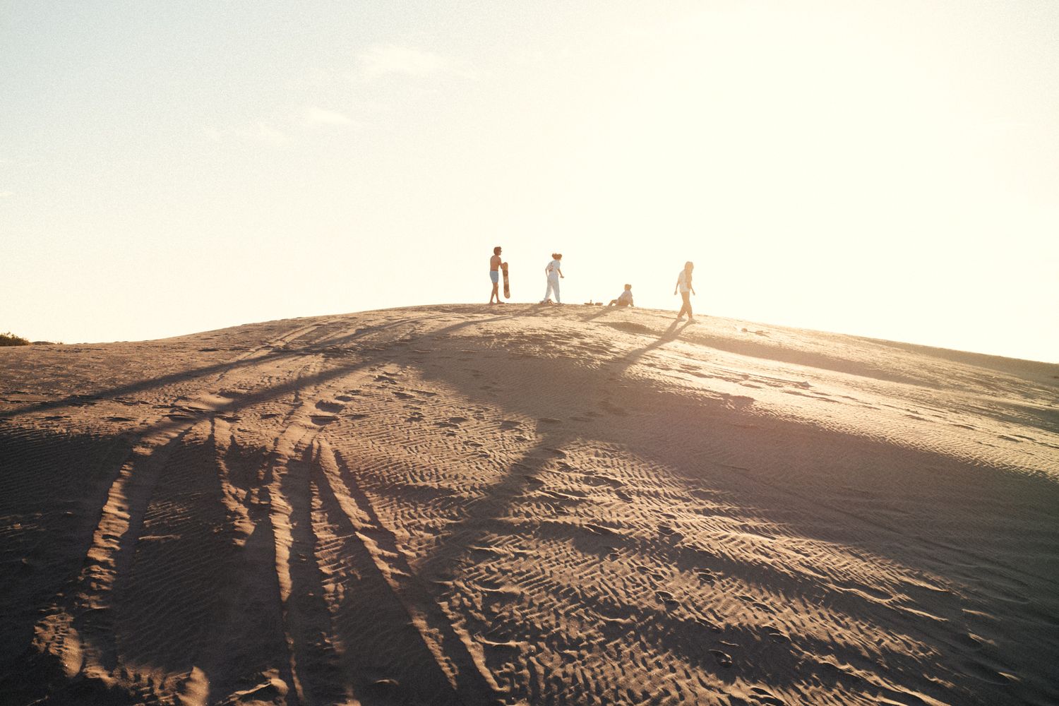
On this day, in the afternoon, you can go to the Mogote dunes, they are spectacular! El Mogote is a peninsula that is attached to the ground and that at the end is in front of the city. You will see some buildings from the malecón in front of the mogote. Behind those buildings are the Dunes. The only way to go to there is by car. I recommend that you do it in the afternoon at sunset. When you arrive, you will find young people sliding on tables practicing sand boarding. You can go in a small car and it does not necessarily have to be a 4 x 4. You will drive on a unpaved road that is sometimes a bit full of loose sand in some parts, when you come across it, do not stop because you will get stuck! just keep driving! If you want to rent a sandboard, ask me and I'll tell you where.
Go to El mogote dunes:
https://goo.gl/maps/37KBp82VZXVu8b8FA
ESPAÑOL
Este dia, por la tarde, podrás ir a las dunas del Mogote, son espectaculares! El mogote es una peninsula que esta pegada a tierra y que al final queda frente a la ciudad. Veras unos edificios desde el malecón frente al mogote. Atrás de esos edificios están la Dunas. La única forma de ir a ellas es en automóvil. Te recomiendo que lo hagas por la tarde a la puesta del sol. Cuando llegues, te encontraras con jóvenes deslizándose en tablas practicando Sand board. Puedes ir en un auto pequeño y no necesariamente tiene que ser 4 x 4. Caminaras por un camino de terracería que a veces esta un poco lleno de arena suelta en algunas partes, cuanto te encuentres con ella, no te detengas porque te atascaras! solo sigue manejando!. Si quieres rentar una tabla de sandboard, pregúntame y te digo donde.
Para ir a las dunas del mogote:
DAY 3
La ventana, Punta arena and Bay of dreams.
DIA 3
La ventana, Punta arena y bahía de los sueños.
ENGLISH
SOMETHING YOU SHOULD KNOW: There is no cell phone service at Punta arena and Bahia de los sueños, so I recommend downloading Google Maps on your phone before you go.
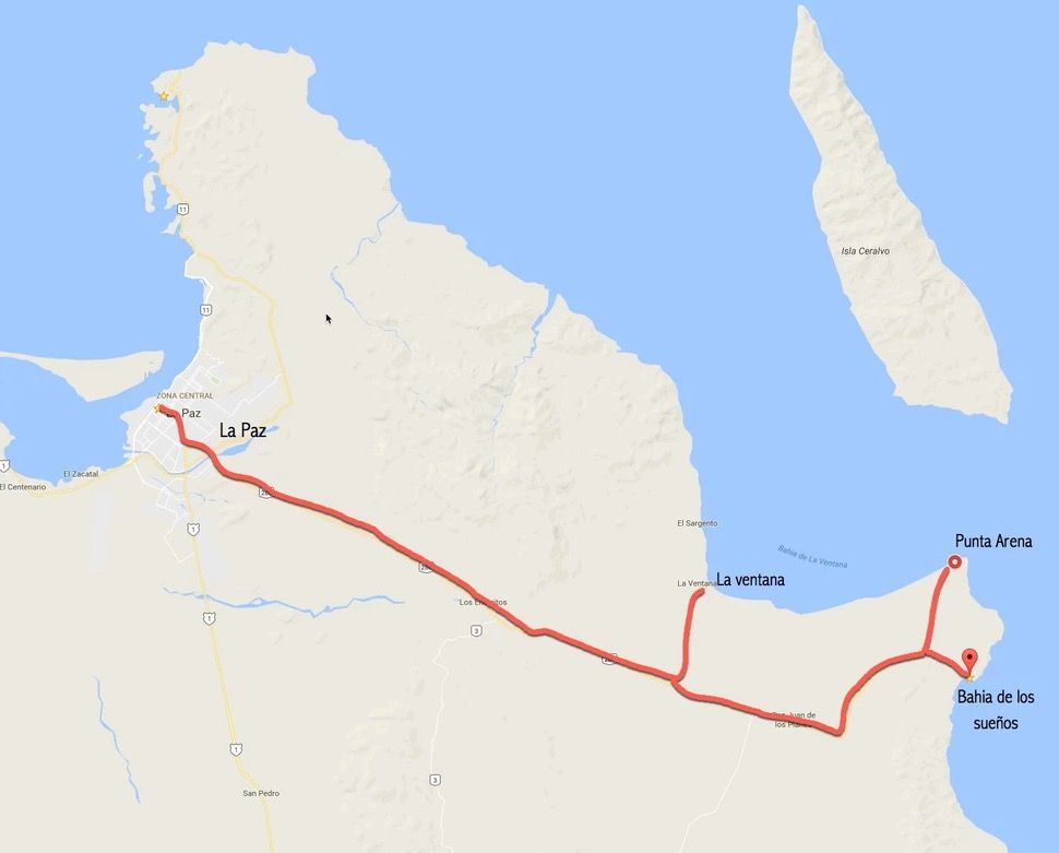
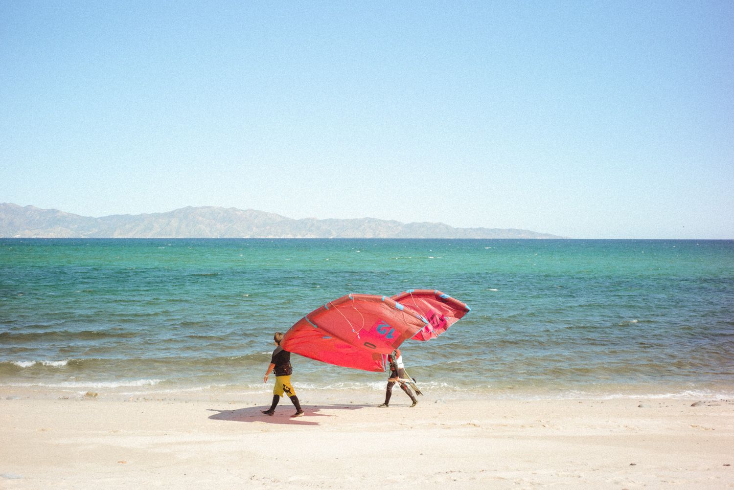
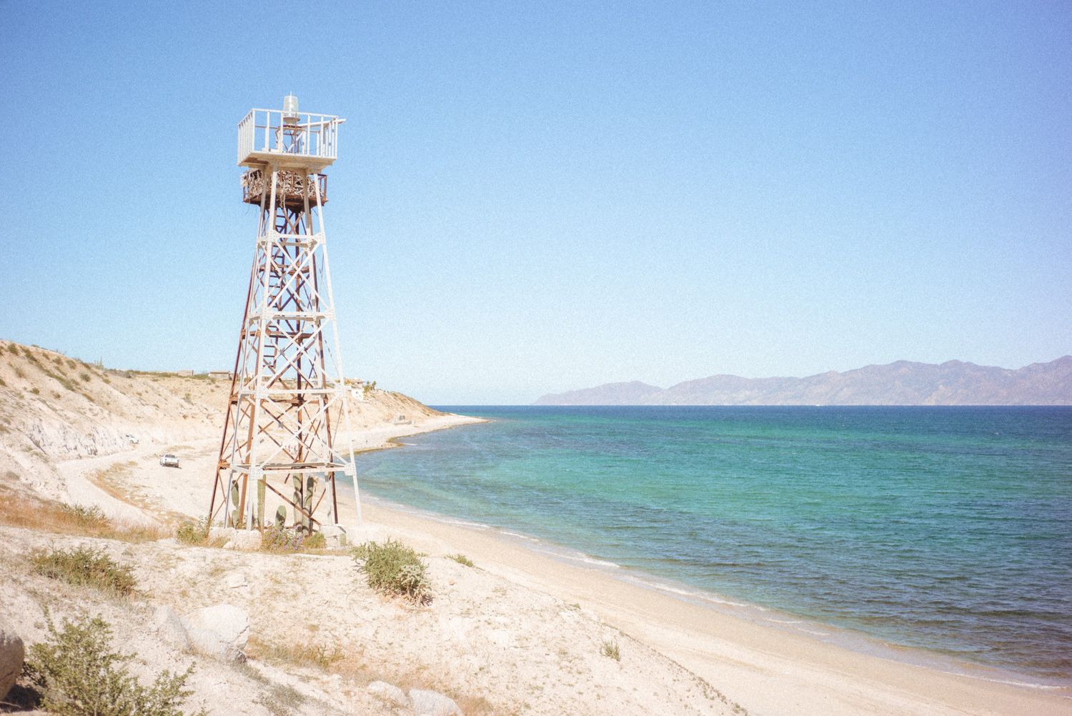
These are three places that should not be missing in your itinerary. La Ventana is a place of beautiful beaches and in season from November to March, many come to this place to practice wind surfing and kite surfing. It is 45 kilometers from La Paz.
Let´s go to La Ventana! https://goo.gl/maps/5sfpgCf5CK62
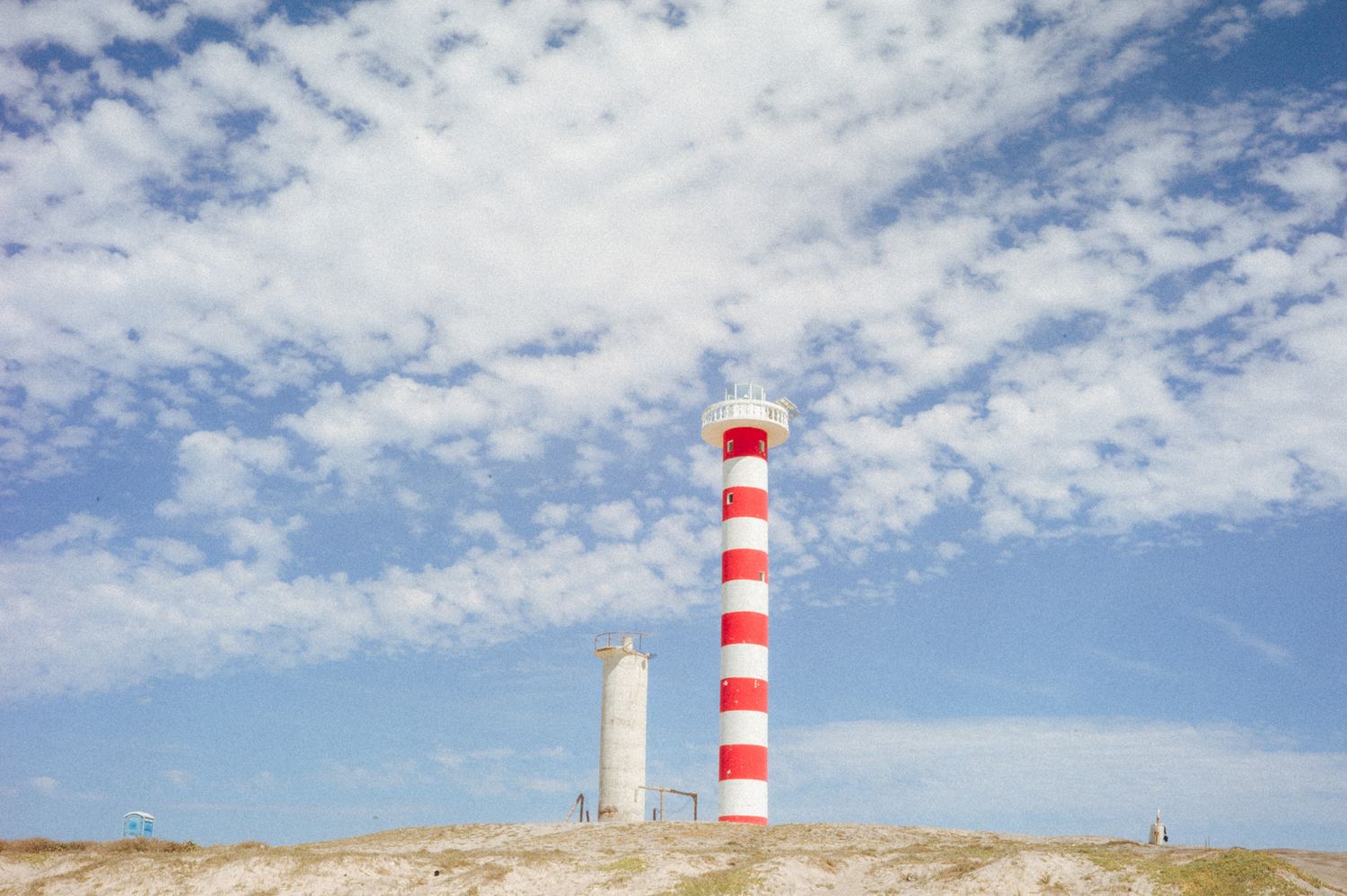
Further on is Punta Arena. Going along the highway you will see a dirt road and a red and white lighthouse at the bottom, there you have to turn left and go through the dirt road 5 kilometers. Beach of white sands and turquoise green sea.
To go Punta arena beach https://goo.gl/maps/qGUdWULio1D2
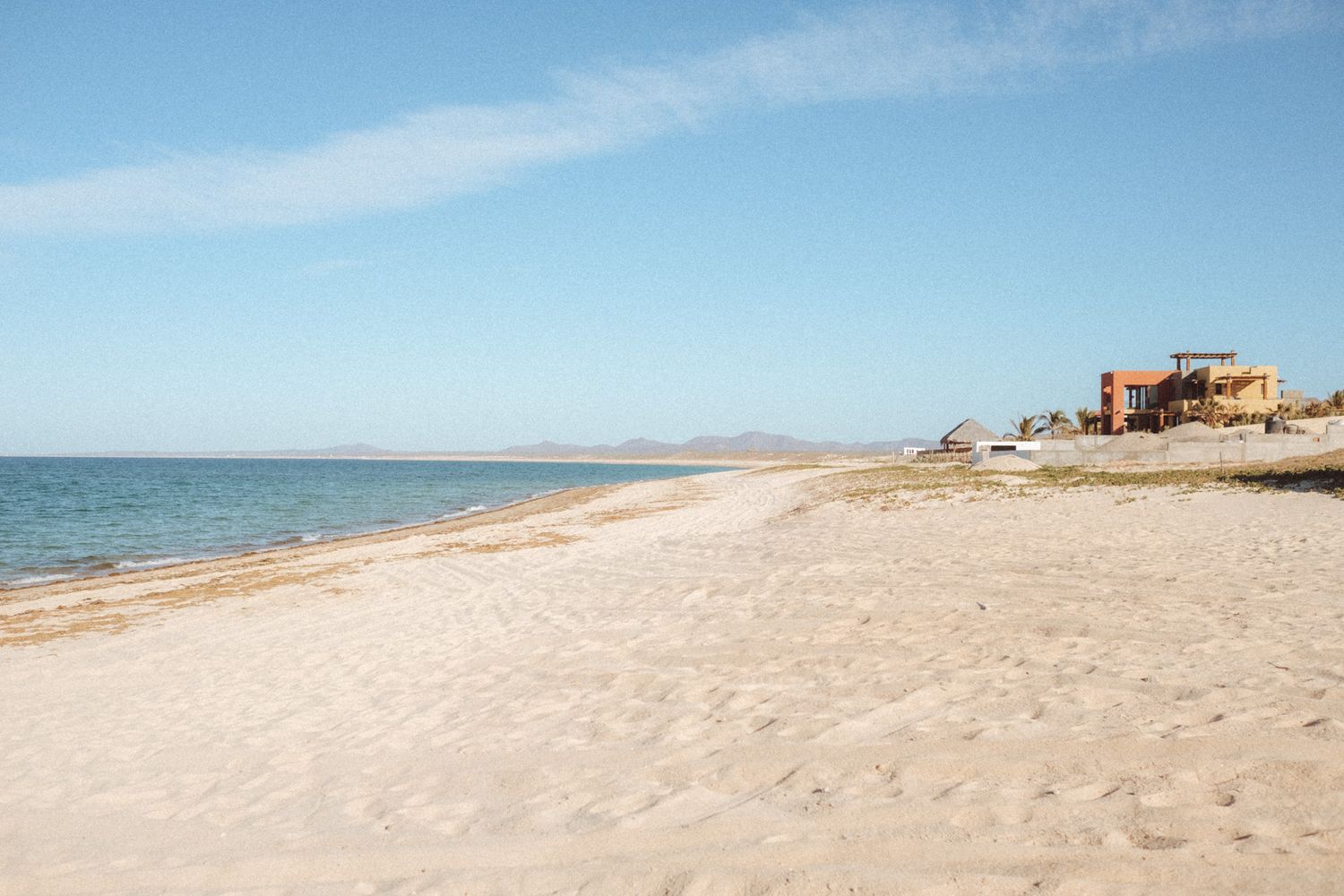
Further along the road you will find Bahia de los Sueños, there is a restaurant where you can eat or take your own food and spend a beautiful afternoon on this beach.
Bahia de los sueños https://goo.gl/maps/SHavew8pfbs
ESPAÑOL
ALGO QUE DEBES SABER: no hay señal celular en Punta arena y Bahia de los sueños, por lo que te recomiendo descargues el mapa de google maps en tu celular antes de ir.
Estos son tres lugares que no deben faltar en tu itinerario. La ventana es un lugar de hermosas playas y en temporada de noviembre a marzo, muchos vienen a este lugar a practicar el wind surf y kite surf. Se encuentra a 45 kilómetros de La Paz.
Vamos a La Ventana: https://goo.gl/maps/5sfpgCf5CK62
Mas adelante se encuentra Punta arena. Llendo por la carretera veras una desviación de terracería y al fondo un faro de color blanco y rojo, allí tendrás que girar a la izquierda e ir por la Tarracería 5 kilómetros. Playa de arenas blancas y mar verde turquesa.
Te llevo a Punta arena https://goo.gl/maps/qGUdWULio1D2
Mas adelante por la carretera encontraras Bahia de los sueños, allí hay un restaurante donde si lo deseas podrás comer o llevar tu propia comida y pasar una hermosa tarde en esta playa.
Y a Bahia de los sueños https://goo.gl/maps/SHavew8pfbs
DAY 4
El Triunfo, Los barriles, Cabo Pulmo.
DIA 4
El Triunfo, Los barriles, Cabo Pulmo.
english
SOMETHING YOU SHOULD KNOW: There is no cell phone service at Cabo Pulmo, so I recommend downloading Google Maps on your phone before you go.
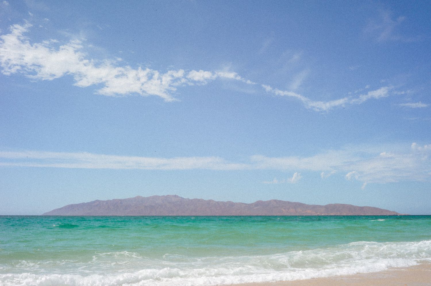
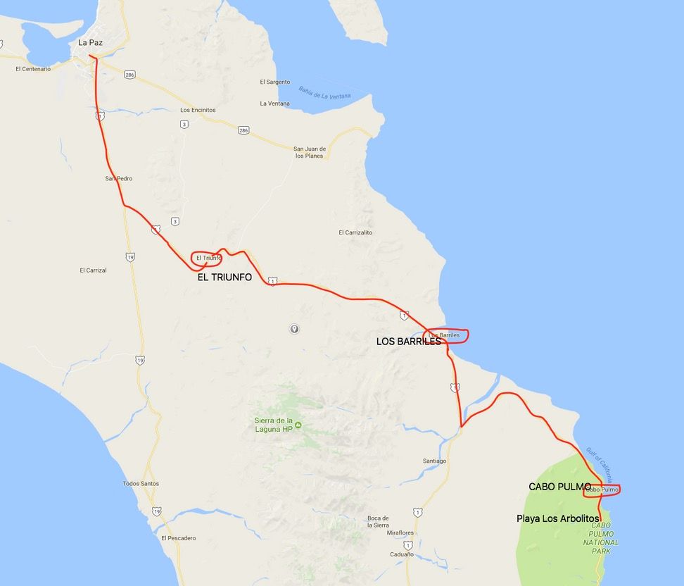
These places are 50, 120 and 170 kms from the city of La Paz. You can leave in the morning at about 8:30 to reach El triunfo (50 kms) as at 9:30 am. Passing San Pedro (5 kms later), you will find the diversion that goes to Cabo San Lucas by the highway to the right, but you continue by the number 1 road that goes to San Jose del Cabo (long way). In 20 kms more you will arrive to El Triunfo. You should not miss the breakfast at Restaurante El Triunfo (just before entering town at the left side af the highway), where you can have a machaca with flour tortillas.
Let´s have breakfast https://maps.app.goo.gl/eUartscuajSH9M1u9
Ready? we continue to El Triunfo https://goo.gl/maps/gkXXSbn9AijcVwNs6
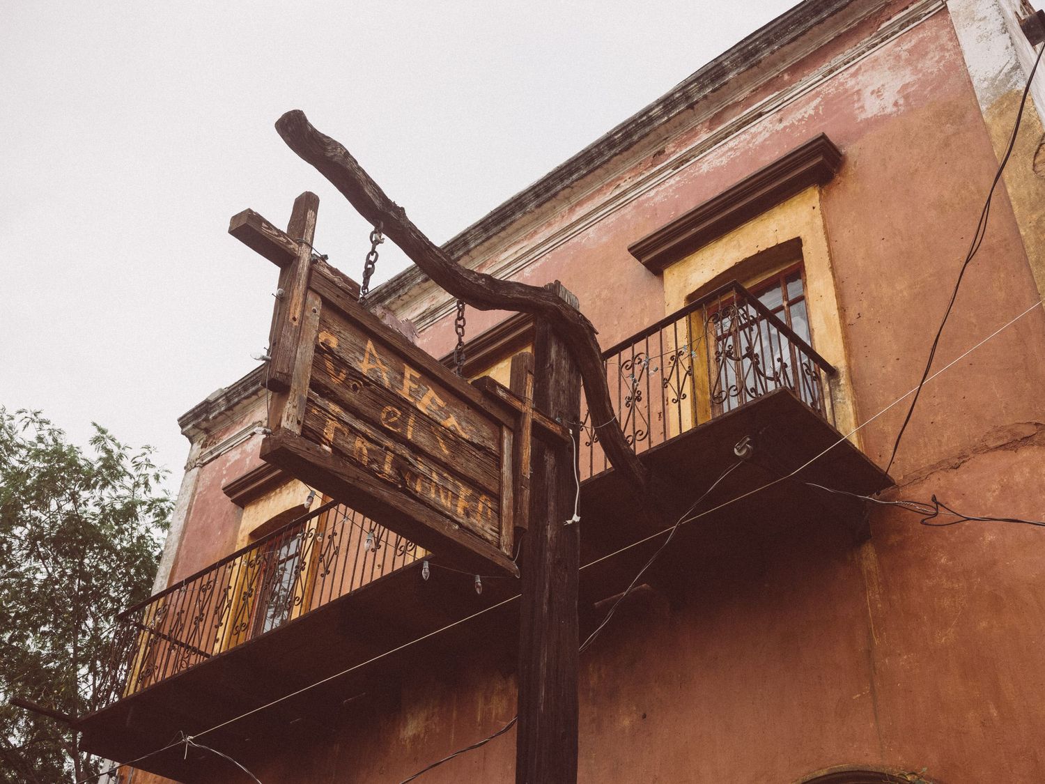
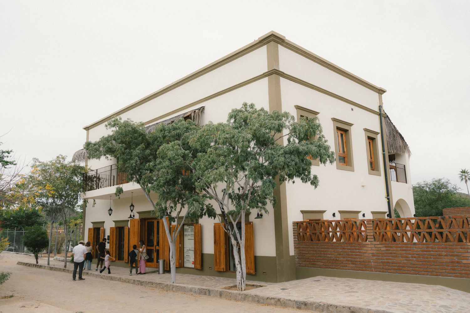
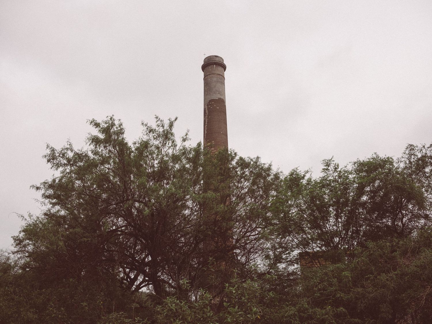
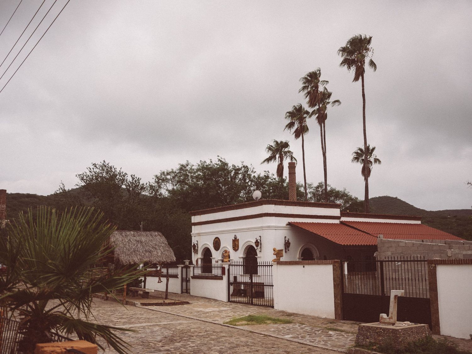
El Triunfo was a mining town back in the 1900s. However, the gold rush ended and with it, the life of the town. Recently they have arranged quite a bit and it has become a walking place for locals and tourists alike. You'll have a good time. Before leaving, you can take a walk among its cobbled streets.
Follow Highway 1 towards Los Barriles. Place of beautiful beaches and some good hotels. You can make a brief stop to know this place.
Go to Los Barriles https://goo.gl/maps/MF5a4F9y6BbNF83x7
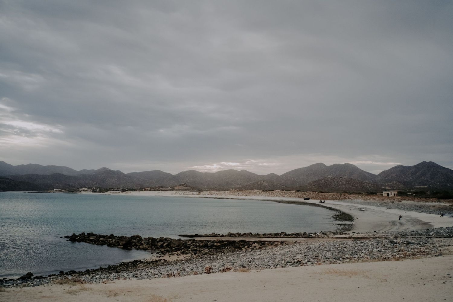
You continue along Highway 1 and 20 minutes further you will find a turning to the left that says "La Rivera". Get ready because the sign is too small. Once you enter this road you will travel 15 kilometers until you reach La Rivera and there you will see a sign that says "Cabo Pulmo", continue on that road and in 30 minutes you will arrive. A part of that road is unpaved, so get ready to jump a little. I recommend renting a kayak at the local business dedicated to that and go to the coral reef to snorkel, it's a worthwhile goldfish show.
So, go to Cabo Pulmo https://g.page/BUCEOPULMO?share
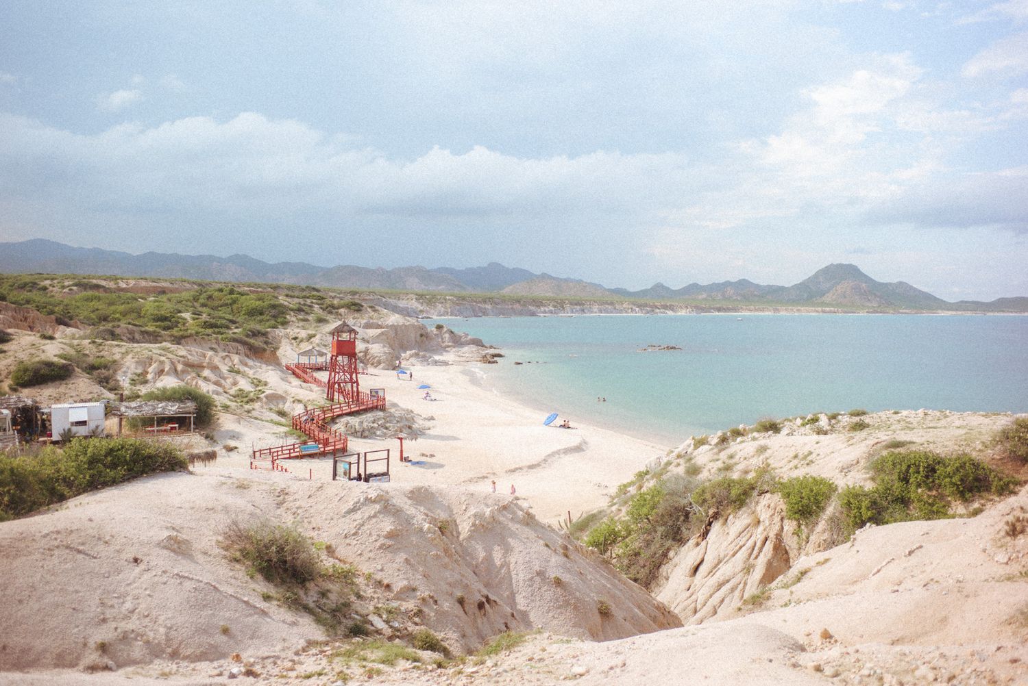
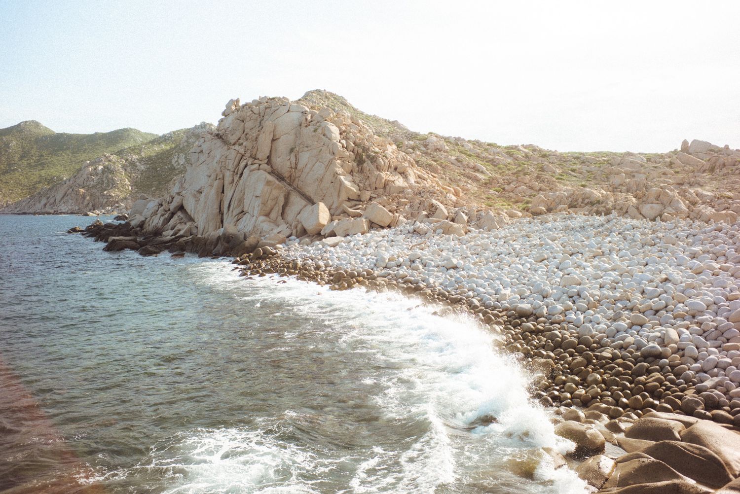
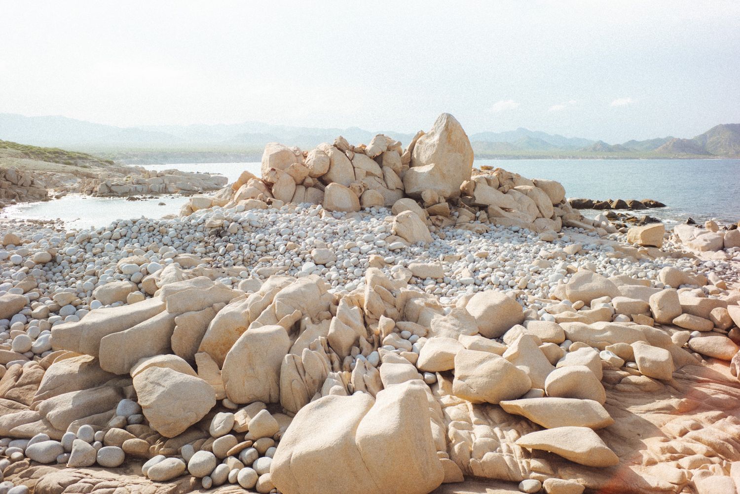
If you still have time, go through the same road 10 km more and you will find a deviation that says "Los Arbolitos". It is a beach of the most emblematic of all Cabo del Este. Not many people know but you can ask the person who takes care of the place to tell you where you can go to the stones ball. It is a trail that goes by the edge of the sea, going up the hill that you will see on the right side. The walk is 20-30 minutes but worth it. You will see some very peculiar rock formations. Just consider that this beach has controlled access and closes at 7:00 pm.
Yes, we have time, let´s go to Playa El Arbolito https://maps.app.goo.gl/KfpAmZ2kEhpfmE4C9
ESPAÑOL
ALGO QUE DEBES SABER: no hay señal celular en Cabo Pulmo, por lo que te recomiendo descargues el mapa de google maps en tu celular antes de ir.
Estos lugares están a 50, 120 y 170 kms de la ciudad de La Paz. Puedes salir por la mañana como a las 8:30 para llegar a El triunfo (50 kms) como a las 9:30 am. Pasando San Pedro, 5 kms mas adelante, te encontraras con la desviación que va a Cabo San Lucas por la autopista hacia la derecha, pero tu continua hacia la izquierda por la carretera numero 1 que va a San Jose del Cabo (via larga). En 20 kms mas llegaras a El Triunfo. No debe faltar el desayuno en el restaurante El Triunfo, donde podrás desayunar la tradicional machaca, frijoles y huevos con tortillas de harina.
Vamoa a desayunar: https://maps.app.goo.gl/eUartscuajSH9M1u9
Listo! seguimos a El triunfo https://goo.gl/maps/gkXXSbn9AijcVwNs6
El triunfo fue un pueblo minero allá por los años 1900. Sin embargo el auge del oro termino y con ello también la vida del pueblo. Recientemente lo han arreglado bastante y ha llegado a ser un lugar de paseo para locales y turistas. Te la pasaras bien. Antes de partir, puedes dar una caminata entre sus calles empedradas.
Sigues por la carretera 1 hacia Los Barriles. Lugar de hermosas playas y de algunos buenos hoteles. Podrás hacer una breve escala para conocer este lugar.
Los Barriles https://goo.gl/maps/MF5a4F9y6BbNF83x7
Sigues por la carretera 1 y a 20 minutos mas encontraras una desviación hacia la izquierda que dice "La Rivera". Ponte listo porque el letrero es muy pequeño. Una vez entrando en esa carretera recorrerás 15 kilómetros hasta llegar a La Rivera y alli veras un letrero que dice "Cabo Pulmo", sigue por ese camino y en 30 minutos mas llegaras. Una parte de ese trayecto es brecha, asi es que preparate para brincar un poco. Te recomiendo rentar un kayac en el negocio local dedicado a eso y ve a los arrecifes de coral a snorkelear, es un espectáculo de peces de colores que vale la pena.
Para llegar a Cabo Pulmo https://g.page/BUCEOPULMO?share
Si aun vas con buen tiempo, recorre por la misma brecha 10 kms mas y encontraras una desviación que dice "Los Arbolitos". Es una playa de las mas emblemáticas de todo Cabo del Este. No mucha gente sabe pero le puedes pedir a la persona que cuida el lugar que te diga por donde puedes ir a la piedras bola. Es una vereda que va por la orilla del mar, subiendo el cerro que veras a lado derecho. La caminata es de 20-30 minutos pero vale la pena. Veras unas formaciones rocosas muy peculiares. Solo toma en cuenta que esta playa tiene acceso controlado y la cierran a las 7:00 pm.
Vamos a playa el Arbolito https://maps.app.goo.gl/KfpAmZ2kEhpfmE4C9

DAY 5
Todos Santos, El Faro, Las Palmas y Los cerritos beaches.
DIA 5
Todos Santos, playas El Faro, Las Palmas y Los cerritos.
ENGLISH.
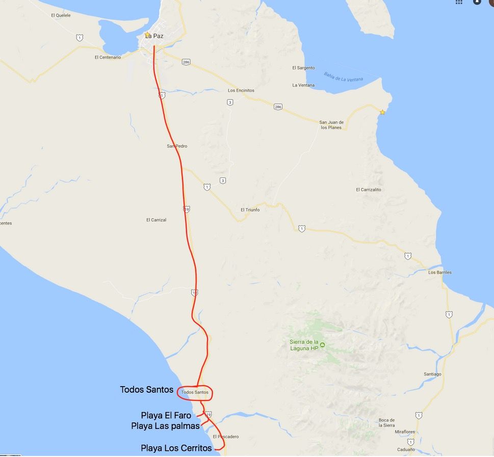
Todos Santos is considered one of the magic towns of Mexico. Named for the Mexican government. I recommend you leave La Paz no later than 8:00 am as you will need an hour to get to Todos Santos.
A must-have breakfast for all of us locals is LA GARITA restaurant, half way between La Paz and Todos Santos (it is at the left side of the highway). Ask the machaca with beans and cheese, served with flour tortillas, or any of the local dishes. You'll love it.
Here is the link so you don't get lost: https://maps.app.goo.gl/JWafpigSsFRrQNNa6
Continue your trip to Todos Santos: https://goo.gl/maps/TakngpqtsSy
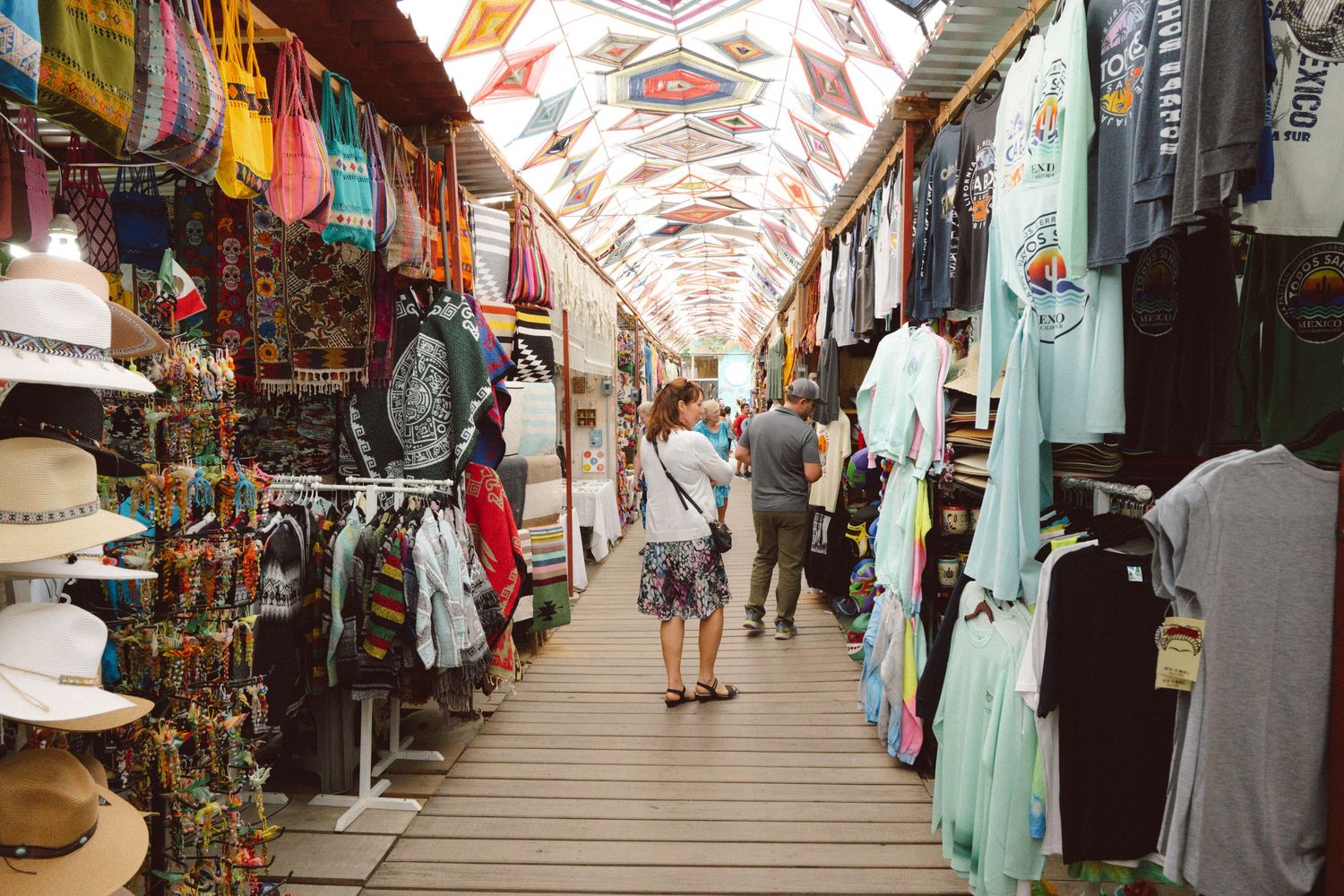
Todos Santos is a tourist place where you will find handicrafts, restaurants and the famous Hotel California. Some said that the hotel was the inspiration of the music band The Eagles to compose the song that made them famous back in the 80's. However, some others say that it has taken advantage of the name to make the hotel famous. There is controversy about it. What is certain is that this hotel exists and is very old.
I recommend eating at the Mexican restaurant "La Generala." They have a delicious buffet.
Buffet Lunch at La Generala: https://goo.gl/maps/vKTbtJNVbeC2
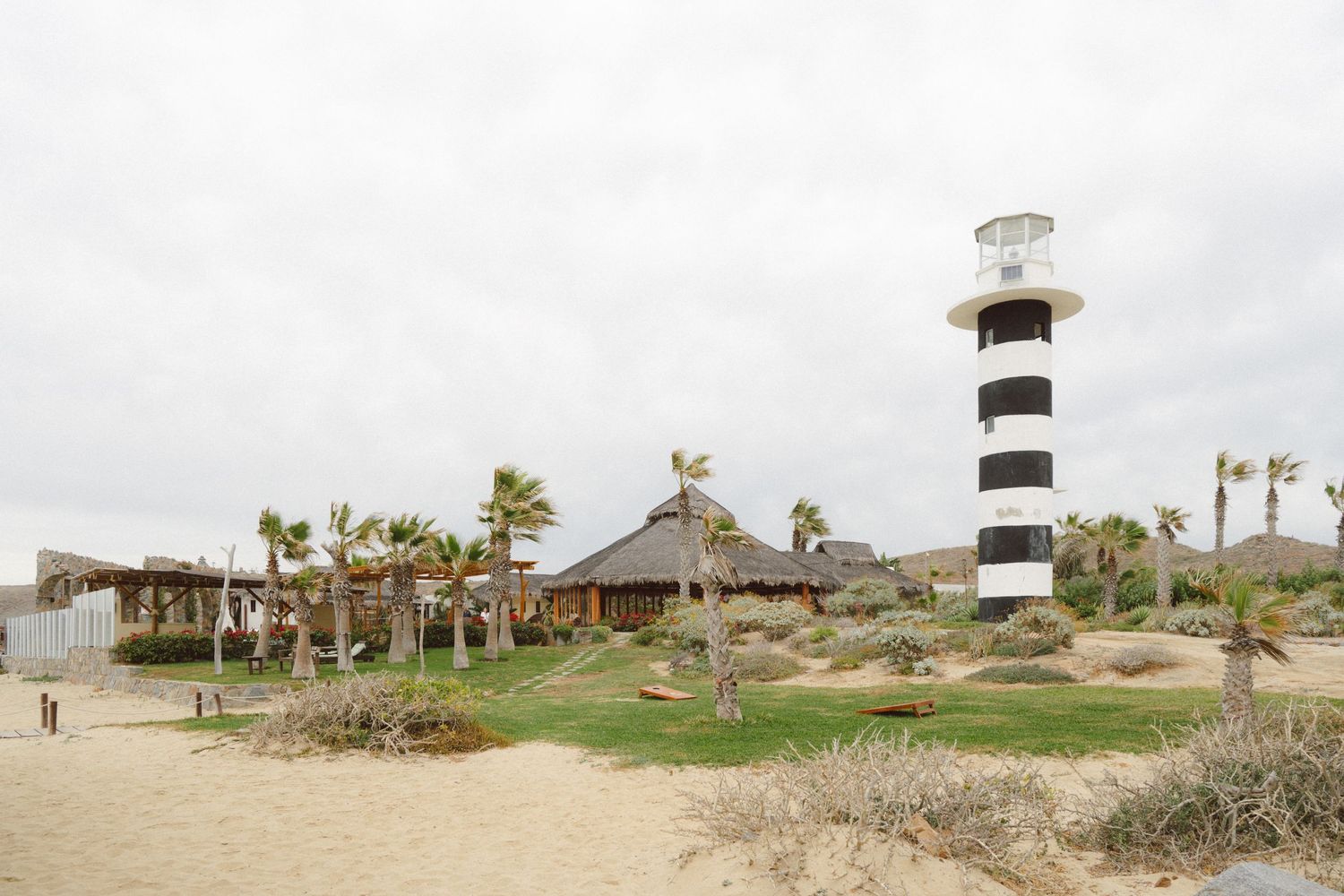
Leaving Todos Santos a few kilometers you will find on the right side the deviation to the beach club El Faro, the restaurant is a big palapa and the food is very good. Not cheap but the atmosphere is worth it.
Here is the link: https://goo.gl/maps/R9JmyQBUwpu
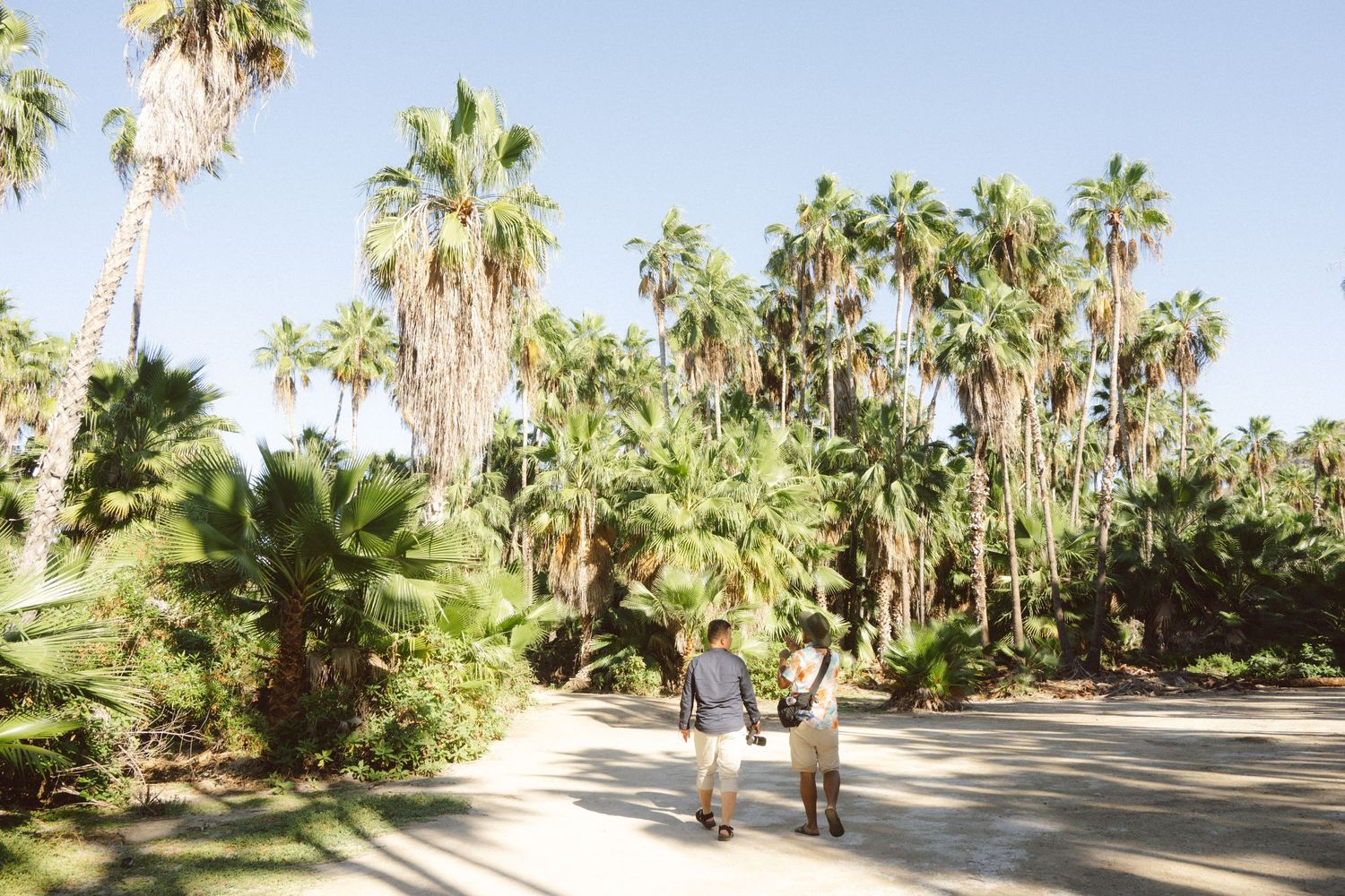
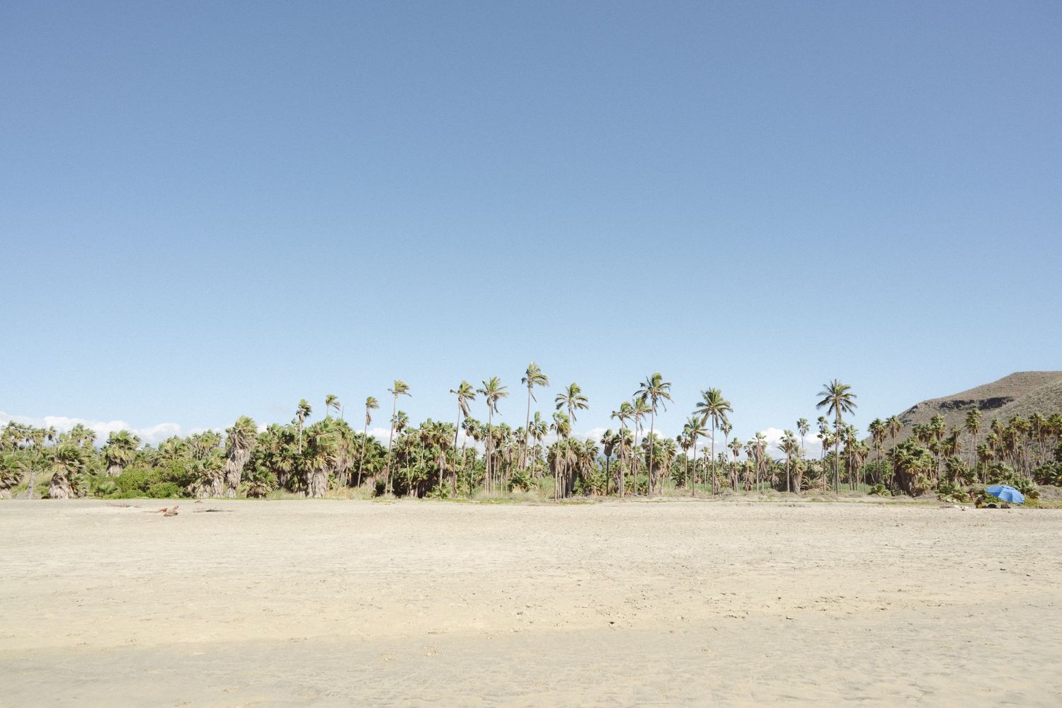
Return to the road and later you will find the deviation to Las Palmas beach, be careful because there is no sign and the entrance barely looks. You can see in the distance on the right side many palm tree. Anyway use the link that I put down to get you without problem. Once there, you will have to park the car and walk a little between palm trees to reach the beach.
Link to Las Palmas Beach: https://goo.gl/maps/XCQi7ZNNuBo
We're still waiting for dessert, so get ready to eat the most delicious strawberries and cream you've ever tasted—and I mean it! Go to the AGRICOLE organic market. It's a very nice place.
Here it is: https://maps.app.goo.gl/qdV9HanL8Bj2qcq3A
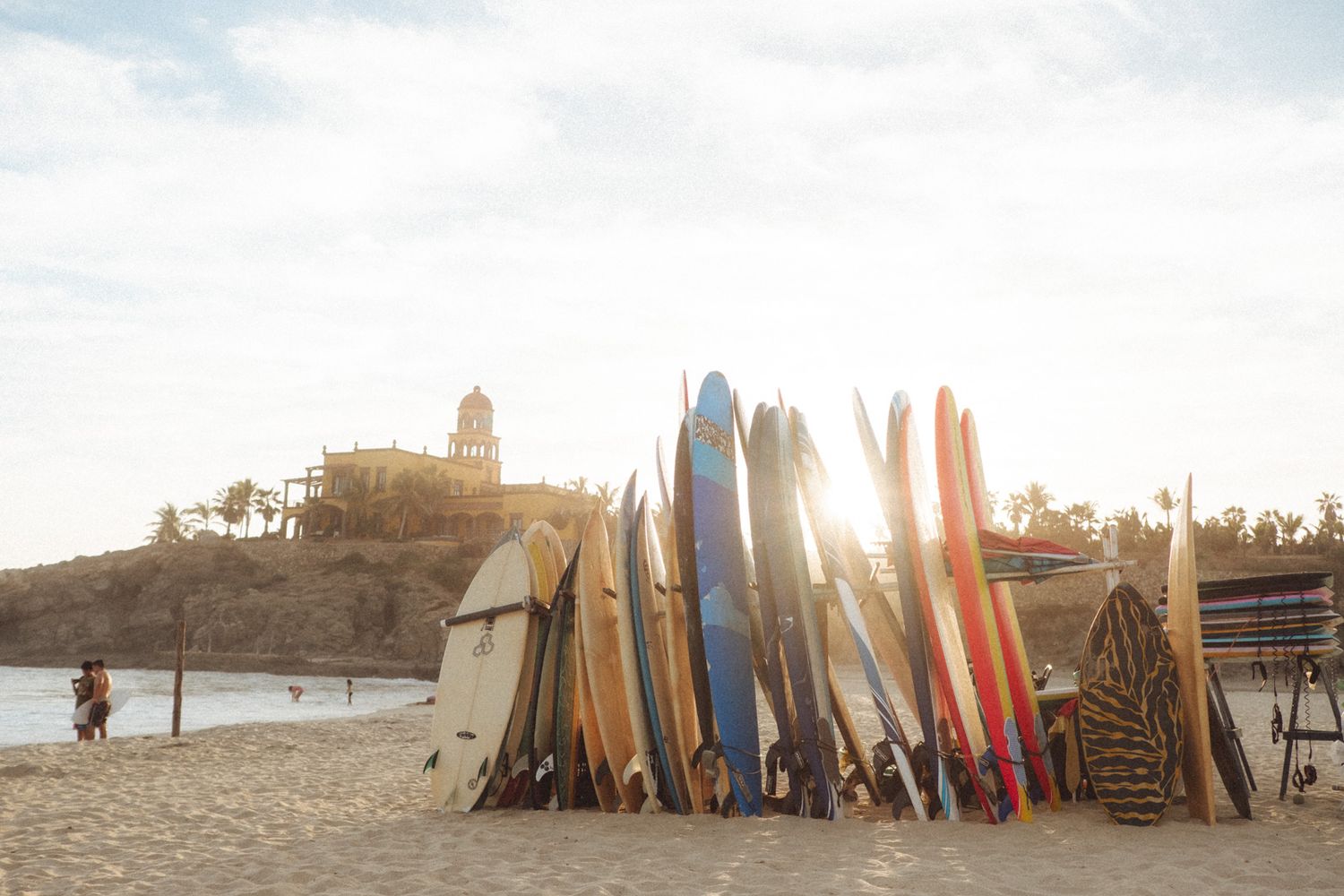
Returning to the highway you will continue until you pass the town of El Pescadero and a few kilometers later you will find the entrance to Los Cerritos beach. A beach where there is a hotel and surf camp. If you decide to swim in that beach, be careful if you do it next to the rocks on the right side as there is a whirlwind that has been fatal for some people.
Cerritos Beach: https://goo.gl/maps/2bfyoZULxfp
ESPAÑOL.
Todos Santos es considerado uno de los pueblos mágicos de Mexico. Nombrado así por el gobierno mexicano. Te recomiendo salir de La Paz a mas tardar a las 8:00 am ya que necesitaras una hora para llegar a Todos Santos. La parada obligada a desayunar de todos los que somos locales es en el restaurante LA GARITA que esta a medio camino entre La Paz y Todos Santos (está del lado izquierdo de la carretera).
Aqui te dejo el enlace para que no te pierdas: https://maps.app.goo.gl/JWafpigSsFRrQNNa6
Pide la machaca con frijoles y queso con tortillas de harina o cualquier comida de la region. Te encantara.
Continúa tu viaje a Todos Santos: https://goo.gl/maps/TakngpqtsSy
Todos Santos es un lugar turístico donde encontraras artesanías, restaurantes y el famoso Hotel California. Algunos decían que dicho hotel fue la inspiración del grupo musical The Eagles para componer la canción que los hizo famosos allá en los 80´s. Sin embargo, algunos otros dicen que se ha aprovechado el nombre para hacer fama al hotel. Hay controversia al respecto. Lo que si es cierto es que dicho hotel existe y es muy antiguo.
Te recomiendo comer en el restaurante de comida Mexicana "La Generala". Hay un bufete riquísimo.
Vamos al Buffet de La Generala: https://goo.gl/maps/vKTbtJNVbeC2
Saliendo de Todos Santos a pocos kilómetros encontraras a la derecha la desviación al club de playa El Faro, el restaurante es una palapa grande muy playera y la comida es muy buena. No es barato, pero el ambiente lo vale la pena.
Aqui esta el enlace: https://goo.gl/maps/R9JmyQBUwpu
Regresa a la carretera y mas adelante encontraras la desviación a la playa Las Palmas, pon cuidado porque no hay ningún letrero y la entrada apenas se ve. Te puedes guiar viendo a la derecha a lo lejos en la playa un palmar. De todos modos usa el enlace que te pongo abajo para que llegues sin problema. Una vez allí, tendras que estacionar el auto y caminar un poco por un palmar hasta llegar a la playa.
Playa el palmar https://goo.gl/maps/XCQi7ZNNuBo
Tenemos pendiente el postre, asi que preparate para comer las fresas con crema mas deliciosas que hayas probado en tu vida, y es en serio! Ve al mercadito organico AGRICOLE. Es un lugar muy agradable.
Aqui es Agricole: https://maps.app.goo.gl/qdV9HanL8Bj2qcq3A
Regresando a la carretera seguirás hasta pasar el poblado de El Pescadero y unos kilómetros mas adelante encontraras la entrada a playa Los Cerritos. Una playa donde hay un hotel y campamento de surfistas. Si decides bañarte en esa playa, ten cuidado si lo haces junto a las rocas de la parte derecha ya que hay un remolino que ha sido fatal para algunas personas.
Para ir a la playa los cerritos: https://goo.gl/maps/2bfyoZULxfp